Alinoz Energy provides surveying, mapping and technical studies to support project planning, engineering design, construction and asset management.
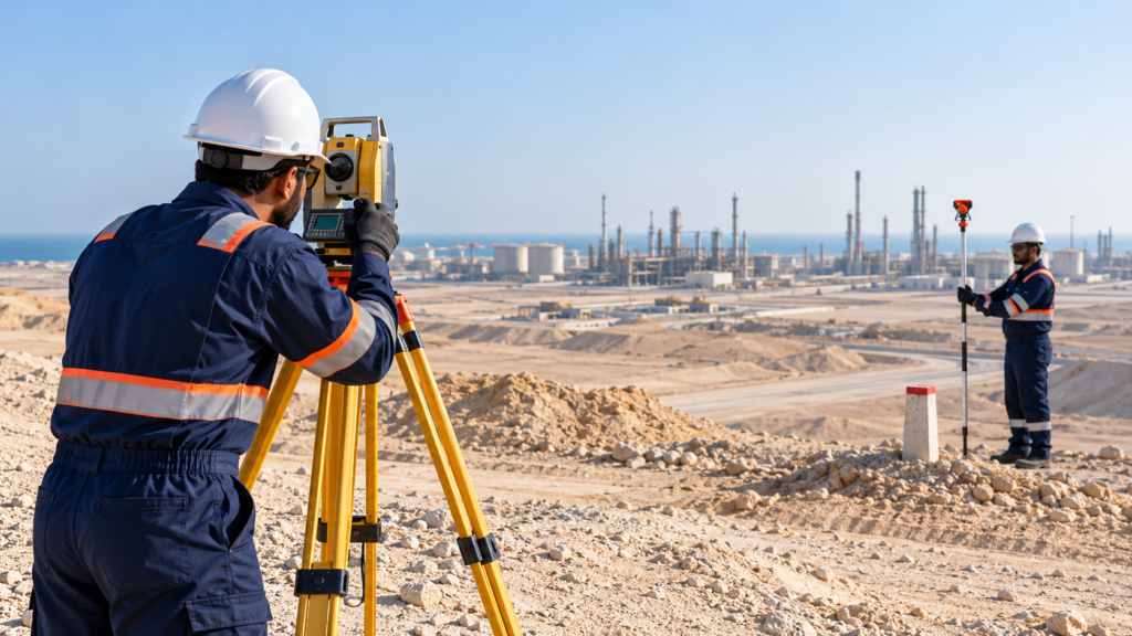
Land, Boundary & Topographic Surveys
Detailed surveys to establish site boundaries, ground levels and physical features, supportedby site assessments for planning and engineering design.
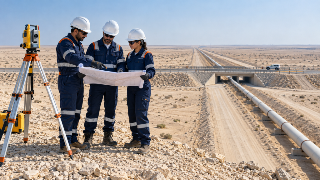
Route Surveys & Corridor Studies
Surveying and assessment of pipeline, road and utility corridors to support route selection, alignment planning and evaluation of crossings and site constraints.
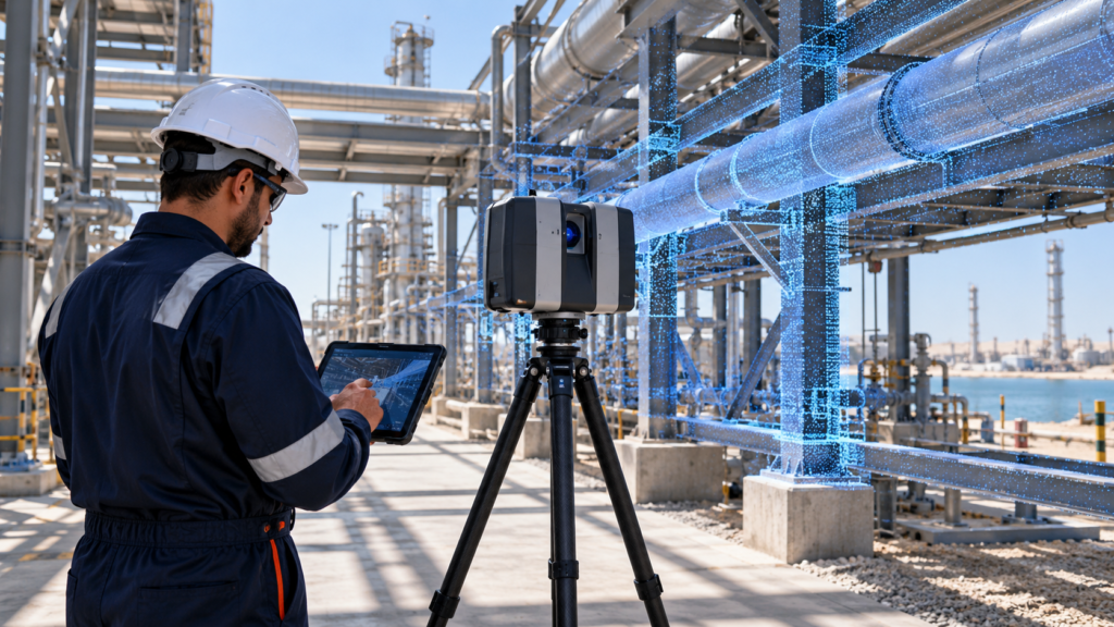
LiDAR & 3D Laser Scanning
High resolution capture of existing facilities and terrain to create accurate 3D models forengineering, modification planning and clearance assessments.
Drone Surveys & Aerial Mapping
Drone-based imagery and mapping to assess terrain, document site conditions and support project planning and progress monitoring.
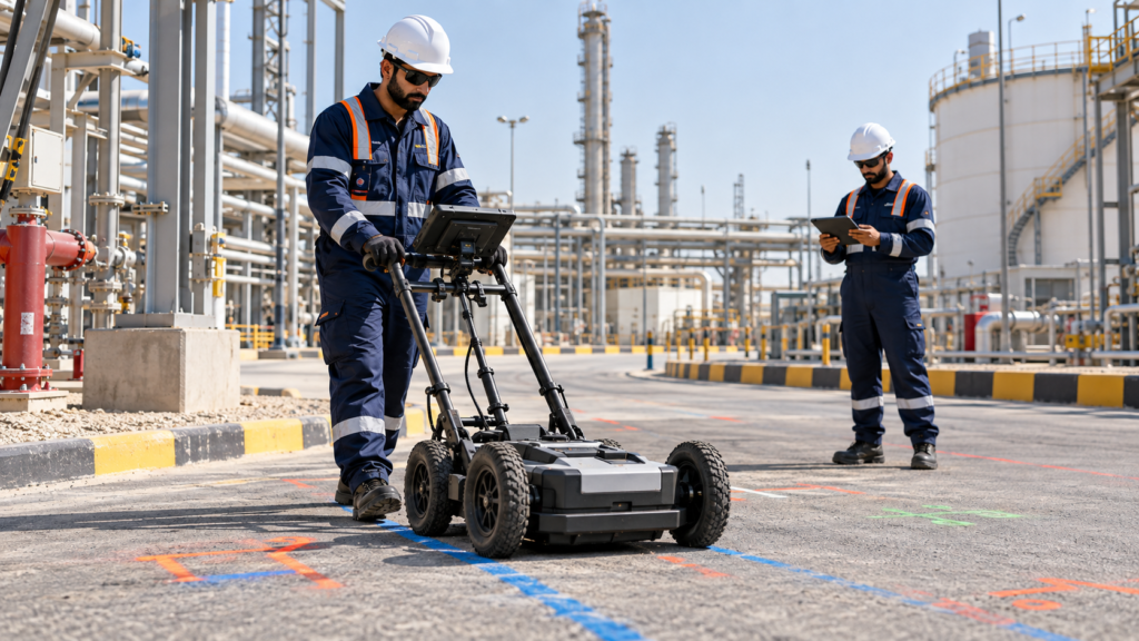
GPR Surveys & Underground Utility Mapping
Ground Penetrating Radar surveys and utility mapping to identify potential buried services and subsurface conflicts, supporting excavation planning and coordination.
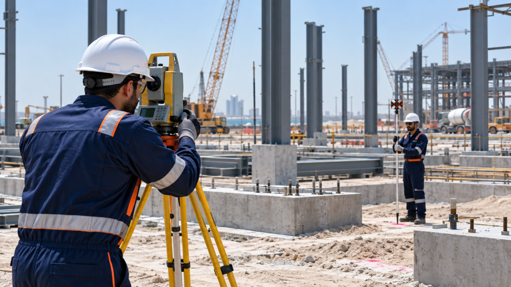
Construction Setting-Out & Dimensional Checks
Precise setting-out and dimensional verification to position structures and equipment, check alignment and identify deviations from approved designs.
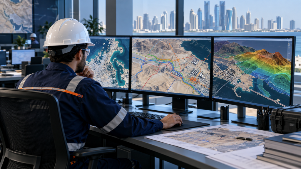
GIS Mapping & Spatial Data Analysis
Integration of survey data, remote sensing imagery and geographic information to support asset mapping, site evaluation and informed project decisions.
As-Built Surveys & Asset Verification
Verification of installed assets and completed works, with preparation of as-built drawings to support project handover, operations and future modifications.
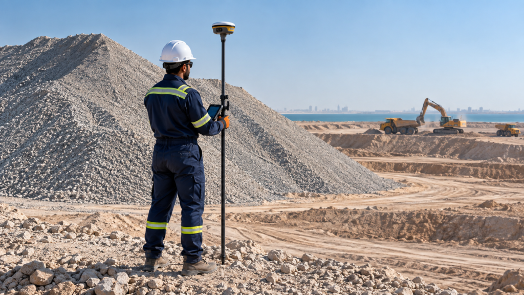
Earthwork Volume Surveys & Quantity Assessments
Measurement and calculation of excavation, fill and stockpile volumes to support earthwork planning, quantity verification and progress assessment.
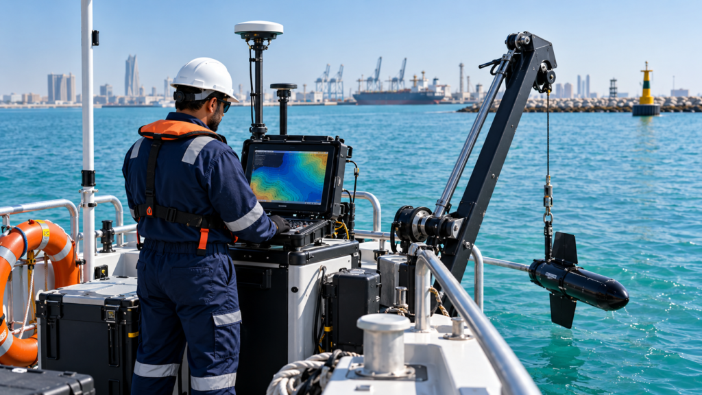
Bathymetric & Marine Surveys
Measurement of water depths and mapping of seabed features to support marine infrastructure planning, dredging assessments and offshore engineering.
Analysis of survey findings and site constraints to assess engineering feasibility, construction access, installation clearances and potential execution challenges.